Jerusalem Travel Guide
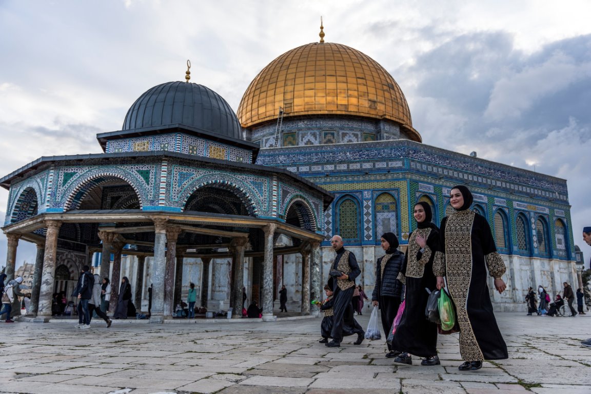
Jerusalem is one of those rare places where every step feels layered with meaning. The city rises over rolling hills of stone and olive trees, and the light that settles over its rooftops gives everything a warm, golden glow. Walking through Jerusalem, you feel a mix of calm and intensity at the same time — monks passing through narrow alleys, children running between market stalls, distant church bells, the call to prayer, and the soft hum of conversations in different languages. It’s a city shaped by faith and history, but it’s also very much alive, full of people going about their daily routines, buying bread, meeting friends, and moving through streets that have been walked on for thousands of years.